

Price: $7.99
(as of Sep 19, 2023 19:22:19 UTC – Details)

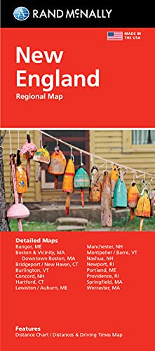
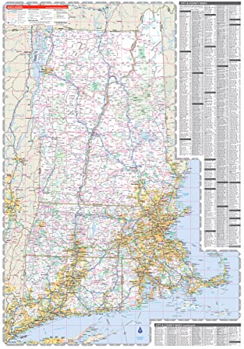
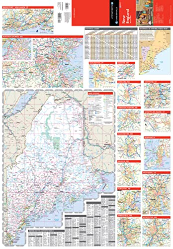
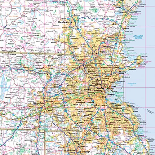
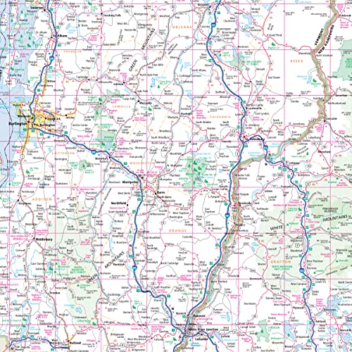
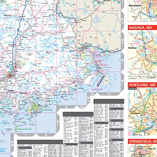
Rand McNally’s folded map featuring New England is a must-have for anyone traveling in and around this part of the country, offering unbeatable accuracy and reliability at a great price. Our trusted cartography shows all Interstate, state, and county highways, along with clearly indicated points of interest, airports, county boundaries, and more. You’ll see why Rand McNally folded maps have been the trusted standard for years. •Regularly updated, full-color maps. •Clearly labeled Interstate, U.S., state, and county highways. •Detail maps of major cities, a mileage chart, and a Mileages & Driving Times Map. •Indications of parks, points of interest, airports, county boundaries, and more. •Easy-to-use legend. •Detailed index. •Convenient folded size. Coverage Area Detailed maps of: Bridgeport, CT; Hartford, CT; New Haven, CT; Boston & Vicinity, MA; Boston Downtown, MA; Springfield, MA; Worcester, MA; Bangor, ME; Lewiston, ME; Portland, ME; Concord, NH; Manchester, NH; Nashua, NH; Newport, RI; Providence, RI; Burlington VT. Product Details: Measures 9.5″ x 4.125″ and folds out to 40″ x 28″.
Publisher : Rand McNally (November 5, 2021)
Language : English
Map : 1 pages
ISBN-10 : 0528025775
ISBN-13 : 978-0528025778
Item Weight : 2.08 ounces
Dimensions : 3.94 x 0.39 x 9.21 inches
![]()


![Road Trip Planner: Vacation Planner & Travel Journal / Diary for 4 Trips, with Checklists, Itinerary & more [ Softback * Large (8” x 10”) * American Roadtrip ] (Travel Gifts)](https://travelwithglen.com/wp-content/uploads/2023/08/7130QwwjBHL-819x1024.jpg)